Hydrographic Survey Section
-
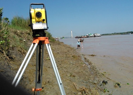
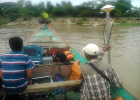
- Channel surveying and mapping
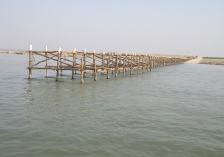
- Surveying and technical suggestions for waterways of the cross river bridges
- To provide technical suggestions from river engineering points of views at construction of cross river bridges.
River Engineering Section
-
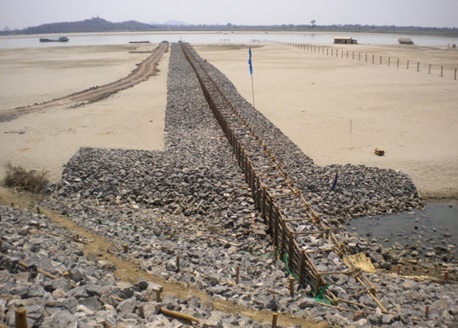
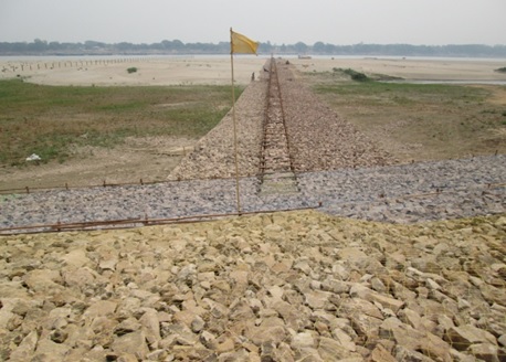
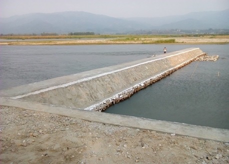
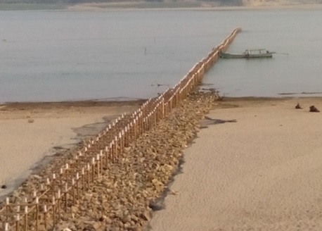
- Construction of river training structures to achieve adequate water depth
-
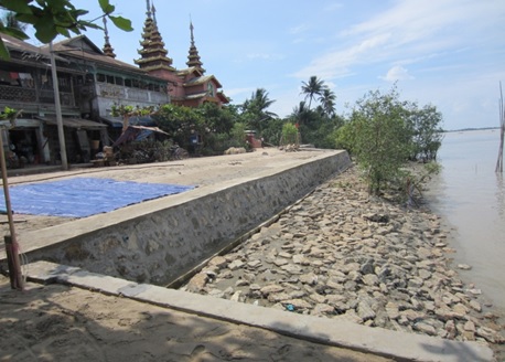
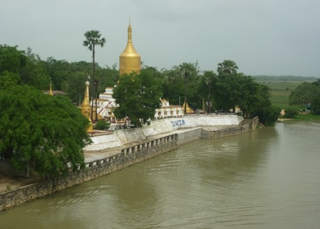
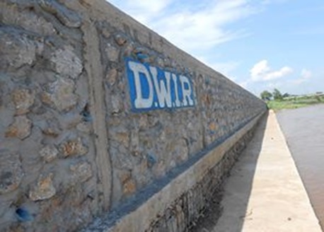
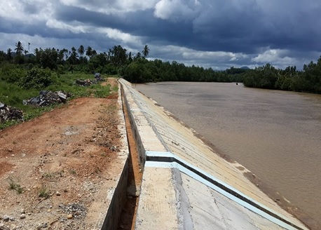
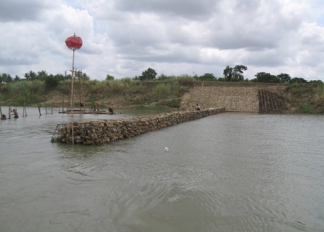
- River bank protections
-
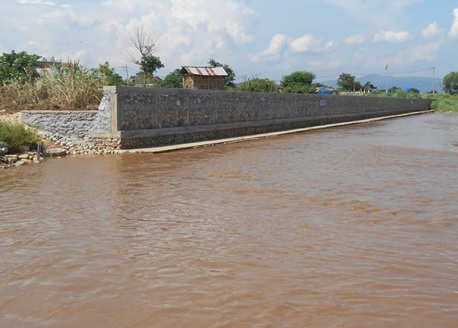
- River training and bank stabilization for the long term existence of the cross river bridges.
-
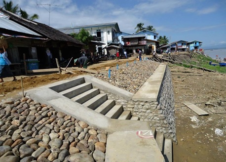
- Bank protection of Border Rivers.
-
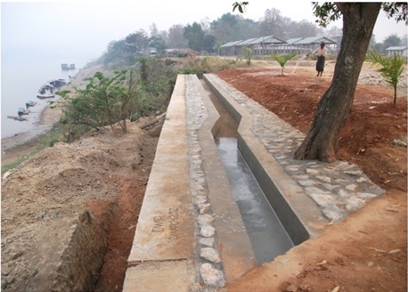
- To utilize the river water for agriculture all the year round.
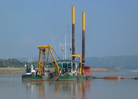
Dredging Section
-
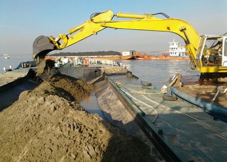
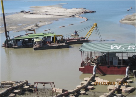
- Dredging in river constraints
- Bend cutting for improvement of waterways and erosion protection
- Dredging to improve approach channel for pump irrigation
- Dredging for new navigation channel
Navigation Section
-
- Provision of navigation aids.
- Promulgation of navigation warning
-
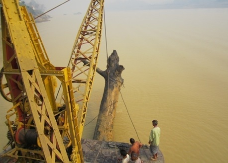
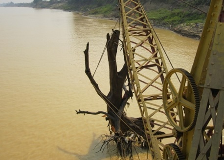
- Snag removing
-
- Monitoring and marking of approach channels for the cross river bridges according to seasonal changes.
- Administration of Twantay canal navigation.
Hydrological Research and Planning Department
- Establish the data banks to support the river training works.
- Predict the Least Available Depth along the inland rivers
- Execution of research for the river training activities
- Monitor the environmental impact by the changes of water quantity and quality
- Develop the yearly, monthly and daily water level hydrographic envelopes